Parque Nacional Patagonia (Argentina)
Born from a rewilding project in 2014, Parque Nacional Patagonia (Santa Cruz) protects steppes, lakes and basaltic canyons. Guanacos, pumas and condors inhabit an open, little-visited and spectacular landscape.
Parque Nacional Patagonia stretches across the province of Santa Cruz in Argentina, bordering Chile. Created in 2014 and expanded since, it protects a mosaic of steppes, turquoise lakes, basaltic canyons and lenga forests. It is one of the country's newest parks, born from a partnership between the Argentine State and the Tompkins Conservation foundation. Wildlife here is exceptionally visible: guanacos, pumas, rheas and condors inhabit an open and little-visited landscape.
Practical information at a glance
- Access: from the town of Perito Moreno (Santa Cruz), approximately 60 km via National Route 40 and then dirt roads.
- Entrance fee: paid admission (rate set by Argentina's National Parks Administration — verify current pricing with the park).
- Recommended duration: a full day minimum; two to three days for hikers.
- What to wear: windproof clothing essential, the Patagonian wind is constant and strong.
- Season: open year-round; November to March offers the best weather conditions.
What you'll see
The park is divided into several sectors. Laguna Azara and Laguna del Cisne welcome pink flamingos and black-necked swans. The Río Pinturas canyon nearby leads to the famous Cueva de las Manos. The basaltic plateaus offer sweeping views of the mountain range. Guanacos allow you to approach within just a few meters along the trails.
History and context
The park is the result of a rewilding project led by the Tompkins Conservation foundation, which purchased estancias degraded by intensive sheep ranching. In 2014, these lands were ceded to the Argentine State to form the national park. Ecological restoration is ongoing: fences are gradually removed to allow wild species to move freely across hundreds of thousands of hectares.
Highlights of your visit
The steppe and wildlife
The Patagonian steppe is Argentina's finest terrain for observing wild fauna. Guanacos, maras (Patagonian hares), grey foxes and condors are visible with minimal effort. The puma, while present, occasionally shows itself in the late afternoon.
Lakes and lagoons
The interior lagoons change color depending on light and season. Some are home to colonies of pink flamingos, spectacular against the ochre steppe and intense blue sky.
Hiking trails
Several marked circuits cross the park, from short one-hour trails to multi-day treks. Refuges are basic; come equipped for camping if you plan overnight stays.
Photography tips
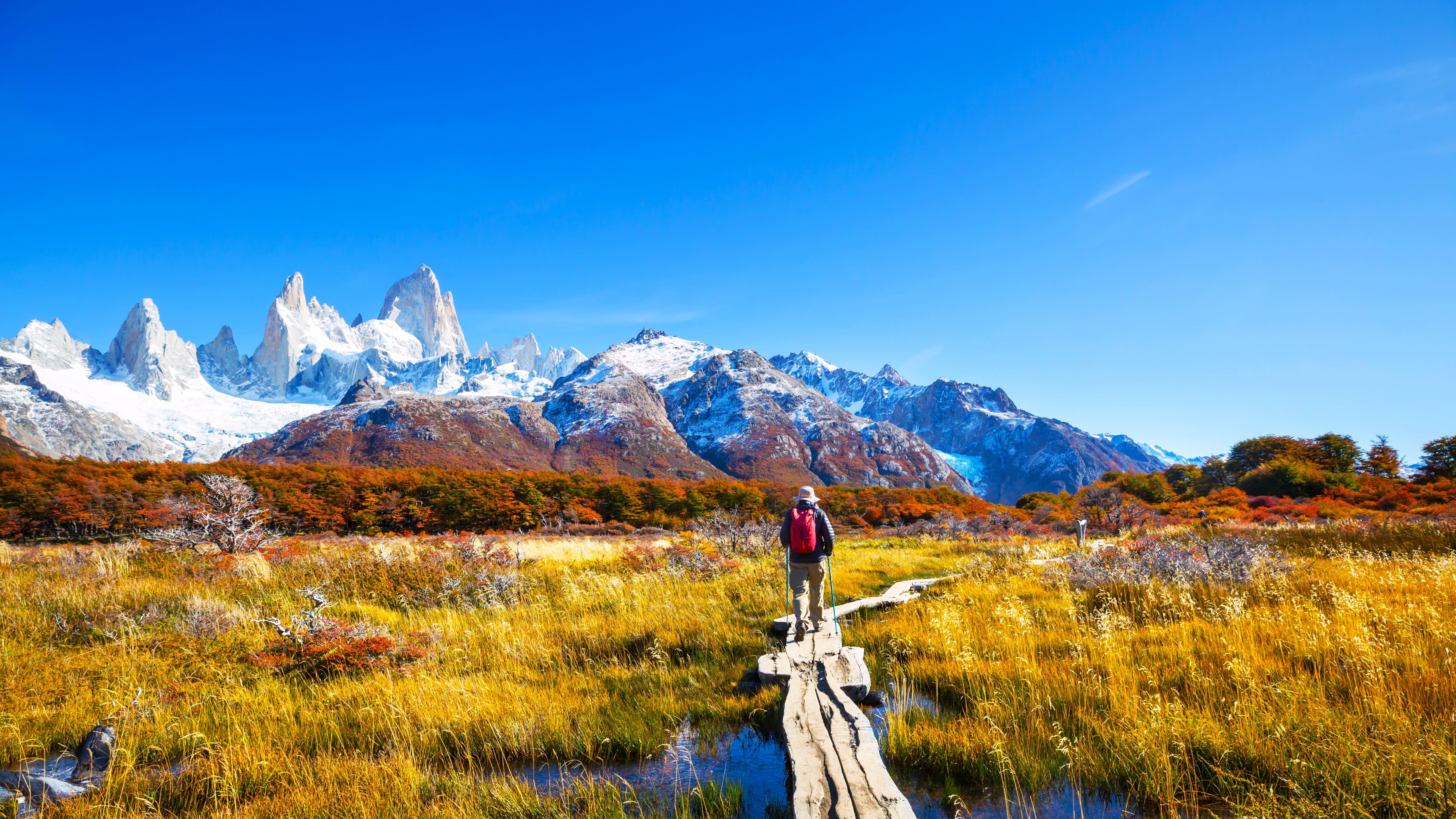
Low morning and evening light is ideal across the steppe: golden grasses and lakes gain remarkable depth. Guanacos are not easily startled and allow close-range portraits. Bring a polarizing filter for the turquoise lagoons. Wind can cause camera shake — use a fast shutter speed.
Location and access
The park lies in the northwestern part of Santa Cruz province, in Argentine Patagonia. The nearest town is Perito Moreno (not to be confused with the glacier of the same name, located much further south). Access is by vehicle, ideally a 4×4 or high-clearance vehicle for interior roads. National Route 40 runs alongside the park. No regular public transport serves the park; car rental from Perito Moreno or Comodoro Rivadavia is the usual solution.
Nearby attractions
- Cueva de las Manos — rock paintings dating back 9,000 years, UNESCO World Heritage listed, approximately 100 km to the south.
- Lago Buenos Aires / General Carrera — one of South America's largest lakes, with intensely blue waters, shared with Chile.
- Perito Moreno (town) — logistical base with accommodations, restaurants and services to prepare your excursion.
Frequently asked questions
November to March corresponds to the austral summer: milder temperatures, long days and active wildlife. Winter (June-August) is cold and windy, but the park remains open and visitor numbers are minimal.
A high-clearance vehicle is strongly recommended for interior roads, especially after rain. Some sectors near National Route 40 are accessible by regular car.
Camping areas are available in the park. Facilities are basic; bring your own camping equipment, particularly a tent resistant to Patagonian winds.
Yes, both sites are often visited in two to three days from Perito Moreno. Cueva de las Manos lies approximately 100 km to the south, on National Route 40.
Photography is free throughout the park. No particular restrictions are noted for individual visitors. Drone use is subject to Argentine national parks regulations — check with the park administration before your visit.
Local guides operate from Perito Moreno and offer day excursions or multi-day treks. Local agencies in town can arrange these outings.
Interested in this visit?
We can include it in your personalised itinerary.