Glacier Vinciguerra
Above Ushuaia, Glacier Vinciguerra is reached on foot via Laguna de los Témpanos. An alpine hike through subantarctic forests and ice-polished rock.
Glacier Vinciguerra stretches across the Andes range above Ushuaia, just kilometers from the city center. Accessible on foot from town, it offers an alpine hike through peatlands, lenga beech forests, and ice-sculpted rock. It's one of Patagonia's rare glaciers reachable without technical climbing gear, making it a prized excursion for Tierra del Fuego visitors.
Practical info at a glance
- Access: departure from central Ushuaia, marked trail via Laguna de los Témpanos
- Recommended duration: full day (round trip)
- Level: moderate to demanding hike, significant elevation gain
- Gear: waterproof hiking boots, warm clothing and windproof layers essential year-round
- Best season: November to March (austral summer); trail often snow-covered or impassable in winter
What to see
The trail first crosses a subantarctic forest of Magellanic southern beeches (lenga), then opens onto peatland and bare rock. Laguna de los Témpanos, dotted with small icebergs calved from the glacier, marks the first highlight. Higher up, the Vinciguerra glacier tongue appears between rocky walls, displaying its characteristic blue hues.
History and context
The glacier is named after Clemente Onelli Vinciguerra, an Italian-Argentine naturalist and explorer active in the late 19th century. Like most Patagonian glaciers, Vinciguerra has been retreating for decades due to climate change. Scientists at the National University of Tierra del Fuego monitor its evolution, and comparative photographs show visible retreat since the 1980s.
Highlights of the visit
Laguna de los Témpanos
Midway along, this glacial lake receives ice fragments that calve from the glacier. In calm weather, floating blocks mirror themselves in the dark water. This is often where hikers pause before the final ascent.
The glacier front
From the glacier's foot, you can clearly see the striations left by ice advancing across rock. The intense blue of compact zones contrasts with the white of recent snowfields. Direct approach to the ice is possible, but stay alert to falling seracs.
Panoramas over Ushuaia Bay
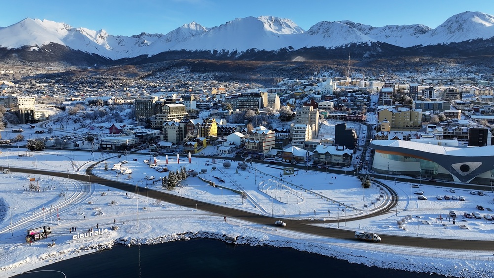
As you climb, your gaze sweeps back over the Beagle Channel and Ushuaia city. On clear days, Chilean peaks are visible on the opposite shore.
Photography tips
Morning light is more stable; clouds frequently build over peaks in the afternoon. Laguna de los Témpanos offers the finest framing—ice, water, and forest in a single shot. A wide-angle lens captures the glacier's expanse. Avoid stepping too close to the glacier front for shots; safety distance also makes the best perspective.
Location and access
The trailhead is at the western edge of Ushuaia, reachable on foot from downtown or by taxi. The path initially follows the Río Martial before climbing toward the lagoon and glacier. No regular public transport serves the trailhead. Local agencies offer guided excursions with transfers from town.
Nearby: Cerro Martial and its chairlift, plus the Tierra del Fuego National Park, accessible from the same western zone of Ushuaia.
Around the area
- Cerro Martial — peak reached by chairlift or on foot, with panoramic views over the Beagle Channel.
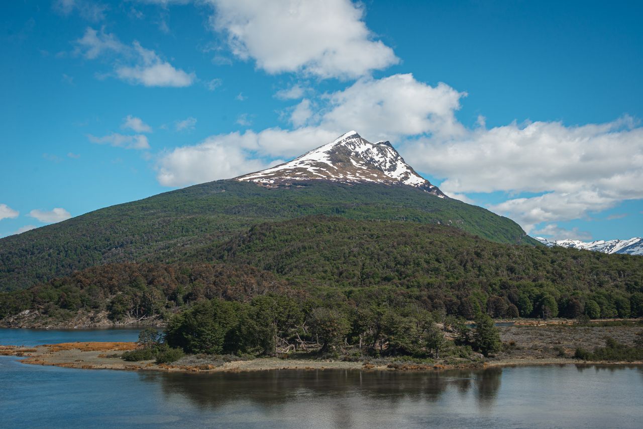
- Tierra del Fuego National Park — forests, peatlands, and Beagle Channel shores west of Ushuaia.
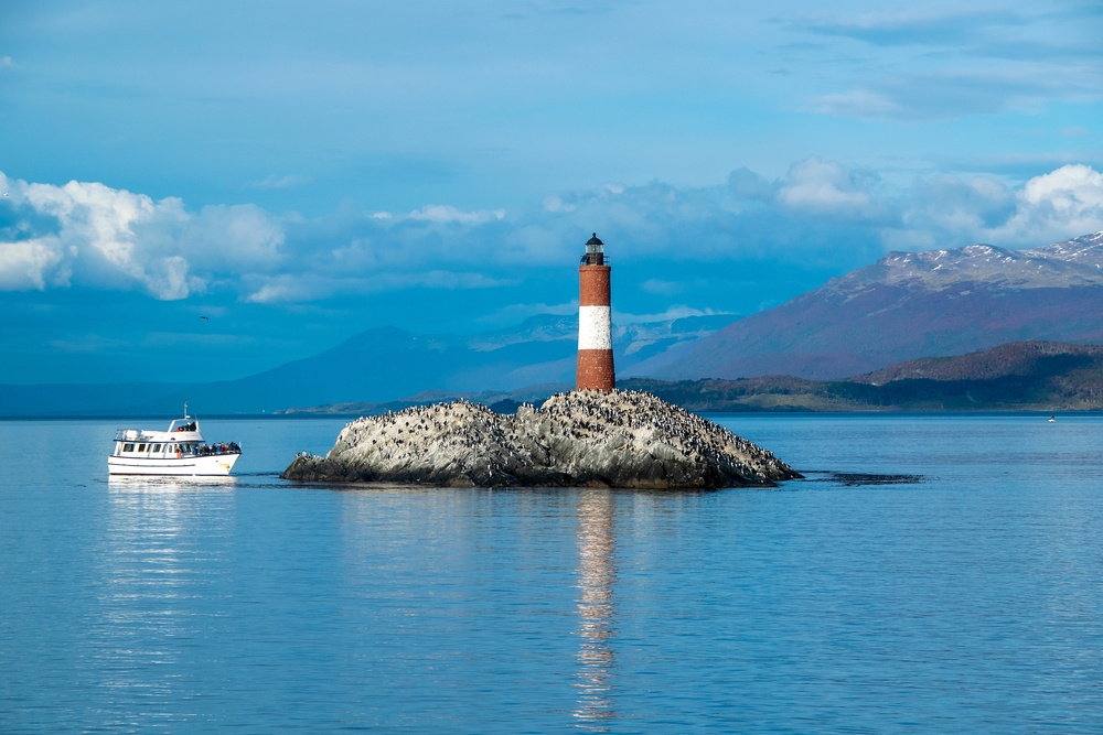
- Beagle Channel — boat excursions to sea lion colonies and subantarctic islands.
- Museum of the End of the World — history of Tierra del Fuego and the Yaghan peoples, downtown Ushuaia.
Frequently asked questions
The austral summer, November to March, offers optimal conditions: clear trail, long daylight, and milder temperatures. Outside this window, snow can make the route hazardous without proper gear.
The trail is marked and doable solo by experienced hikers. For those less accustomed to mountain terrain or in uncertain weather, a local guide is strongly recommended—conditions shift rapidly in Patagonia.
Approaching the glacier's foot is possible, but walking on ice requires crampons and glacier-hazard knowledge. Without equipment or a specialized guide, stay on the moraine and observe from the lagoon's edge.
Plan for a full day. Elevation gain and varied terrain lengthen the journey; bring plenty of water, food, and waterproof spare clothes.
The two sites are geographically close, but each represents a day's hike. Visit the Cerro Martial chairlift as a half-day outing and reserve Glacier Vinciguerra for a separate full day.
Nearby
Interested in this visit?
We can include it in your personalised itinerary.