Parque Nacional Tierra del Fuego
Parque Nacional Tierra del Fuego
Located 12 km from Ushuaia, Tierra del Fuego National Park brings together subantarctic forests, peatlands and shores of the Beagle Channel. A landscape at the world's end, accessible by bus or guided tour, to explore in half a day or a full day.
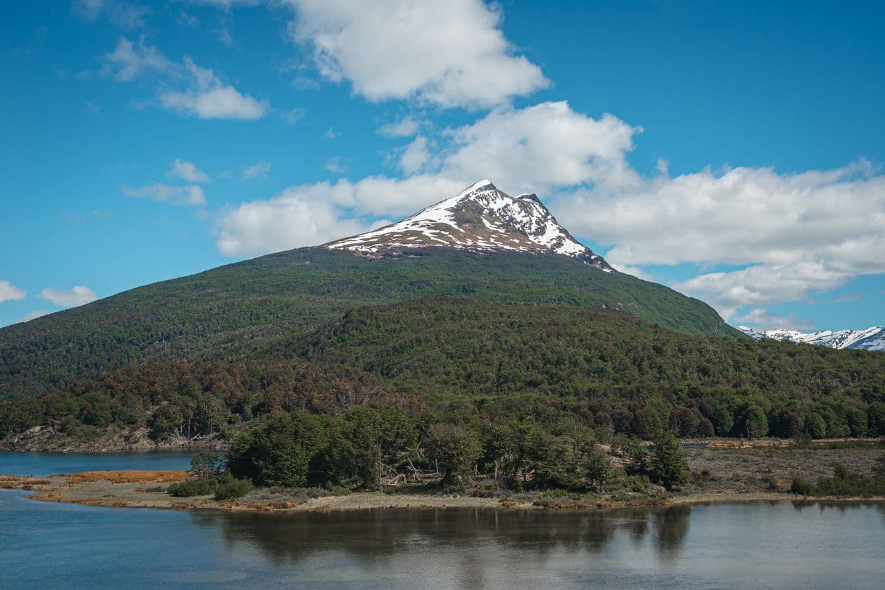
Tierra del Fuego National Park stretches west of Ushuaia, in Argentine Patagonia, to the Chilean border. It is the only Argentine national park with direct access to the South Atlantic Ocean. Southern beech forests, peatlands, lagoons and wind-swept channels compose a landscape at the world's end. The park also marks the symbolic terminus of Route 3, Argentina's longest national highway.
Practical information at a glance
- Entrance: fee required (differentiated rates for Argentine residents and foreigners)
- Access: Route 3 from central Ushuaia, approximately 12 km away
- Transport: shared buses from Ushuaia, taxis, rental vehicle or organized tour
- Recommended duration: half day to full day depending on trails chosen
- What to wear: waterproof and warm clothing essential, even during southern summer
- Accessibility: certain areas accessible (Roca Lake shore), but most trails are rugged
What to see
The park covers approximately 63,000 hectares of subantarctic landscapes. Lenga forests (southern beech) dominate the hillsides; in southern autumn (April-May), they turn red and orange. Peatlands and wetlands are home to North American beavers, accidentally introduced and now invasive. The channels and Lapataia Bay offer direct views of the Beagle Channel.
History and context
Created in 1960, the park protects Argentina's southernmost subantarctic ecosystem. The region was inhabited for millennia by the Yaghan (Yámana) people, a maritime nomadic culture. Early European contact dates to the expeditions of Fitzroy and Darwin in the 1830s. The introduction of Canadian beavers in the 1940s profoundly altered riverside forests, an ecological issue still being managed today.
Highlights of the visit
Lapataia Bay
Terminus point of Route 3, Lapataia Bay is the symbolic heart of the park. A sign reads "End of Route 3 — Buenos Aires 3,079 km". Calm waters reflect snow-capped mountains; cormorants and steamer ducks frequent the shores.
Roca Lake
Accessible by car, Roca Lake is surrounded by dense forests. It is one of the few sectors where picnicking and trout fishing are permitted (with a license). The coastal trail runs along the shore in a peaceful setting.
The Costera Trail
This several-kilometer trail follows the Beagle Channel from Ensenada Beach to Lapataia. It alternates between pebble beaches, forests and viewpoints over the channel. It is one of the most comprehensive routes in the park.
The Train to the End of the World
The Tren del Fin del Mundo connects a station at the park entrance to Macarena station, following the former railway line of Ushuaia's penal colony. The journey crosses forests and rivers with historical commentary onboard.
Photography tips
The low-angle light of late afternoon gilds the lenga forests and Beagle Channel waters. In southern autumn, the beech colors are spectacular. Lapataia Bay photographs best early in the morning, when the surface is calm. Avoid peak hours (mid-morning) for panoramas without crowds.
Location and access
The park is located approximately 12 km west of central Ushuaia, accessible via Route 3. Shared buses depart regularly from town in season. Local agencies offer combined excursions including the Train to the End of the World. The Roca Lake area is partially accessible to people with reduced mobility.
Nearby attractions: Beagle Channel (boat excursions from Ushuaia port) and Maritime and Prison Museum of Ushuaia in town.
Around the area
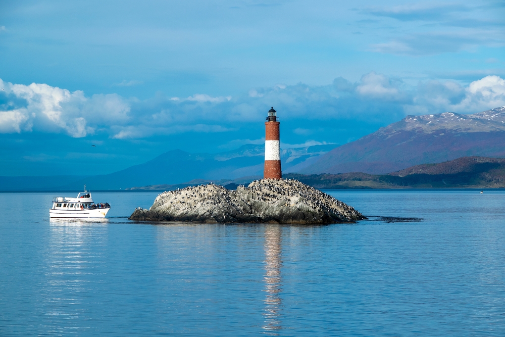
- Beagle Channel — Cruises from Ushuaia to sea lion and penguin islands.
- Maritime and Prison Museum — The former Ushuaia prison traces the region's penal and maritime history.
- Martial Glacier — Accessible by chairlift from Ushuaia, panoramic views over the city and channel.
- Martillo Island — Colony of Magellanic penguins and yellow-browed penguins, accessible by boat tour.
Frequently asked questions
Southern summer (November to March) offers the longest days and mildest temperatures. Autumn (April-May) is ideal for lenga forest colors. In winter, some trails may be snow-covered and access limited.
Yes. The Tren del Fin del Mundo departs from a station at the park entrance and makes an original introduction before exploring the trails on foot. Combined packages are offered by Ushuaia agencies.
Weather changes very quickly in Tierra del Fuego. Plan for layered clothing, a waterproof jacket, waterproof hiking boots and a windbreaker, even in peak southern summer.
Yes, photography is free throughout the park. No particular restrictions are noted for visitors.
The park is home to beavers, Magellan foxes, condors, cormorants and steamer ducks. Beavers, an introduced species, are visible near waterways. Marine mammals (sea lions, dolphins) are more likely seen on Beagle Channel excursions.
Half a day is sufficient for the main highlights (Lapataia, Roca Lake). A full day allows you to explore the Costera Trail and enjoy the Train to the End of the World without rushing.
Interested in this visit?
We can include it in your personalised itinerary.