Complete Guide to Argentina
Argentina stretches 3,700 km from subtropical north to the glaciers of southern Patagonia. Our team, based in Buenos Aires, designs itineraries that account for this vast range: you don't visit Salta and Ushuaia in the same week. The country reads as distinct major regions, and a 15-day trip covers two or three without rushing.
In the northwest, the Calchaquí valleys around Cafayate and the Humahuaca gorge offer high-altitude landscapes between 2,000 and 4,000 m, with Andean villages, high-altitude vineyards and norteño cuisine. The center is Mendoza and its wineries at the foot of Aconcagua (6,962 m), then Buenos Aires, its porteno cafés and the milongas of the San Telmo quarter. Patagonia divides into two worlds: Bariloche and the lake region to the north, El Calafate, El Chaltén and Perito Moreno glacier to the south. Finally, the Valdés peninsula on the Atlantic coast concentrates southern right whales (June-December), penguins and orcas.
The country lends itself to road trips but requires organization: long distances, domestic flights often necessary between Buenos Aires, El Calafate and Ushuaia. According to your interests (nature, wine, urban culture, trekking), we orient your itinerary toward the right geographic corridor and season.
The regions of Argentina
Each region has its own personality: climate, landscapes, pace of life and ways of traveling. Our local team helps you choose the combination that suits you.
Buenos Aires and Pampa
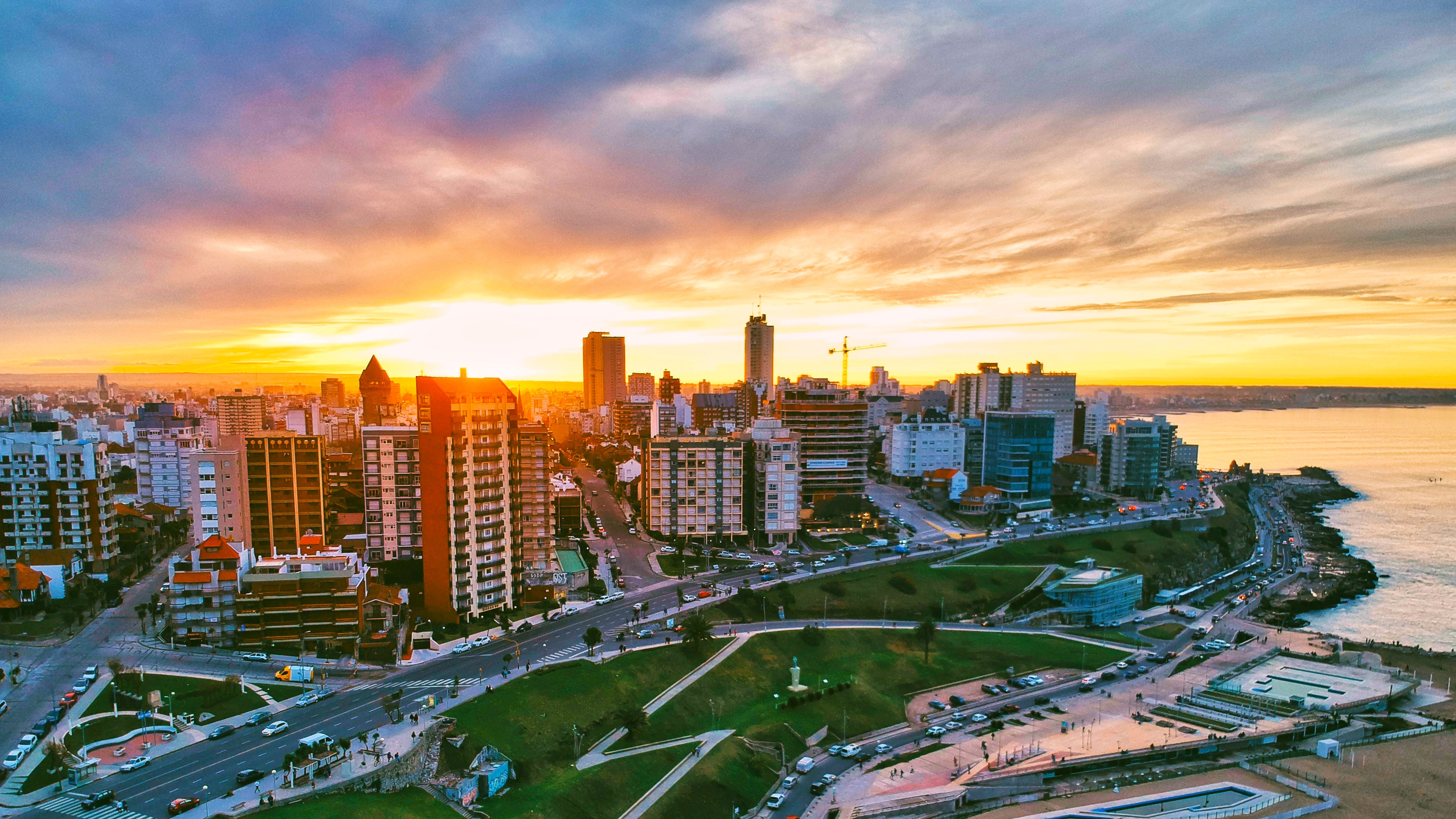
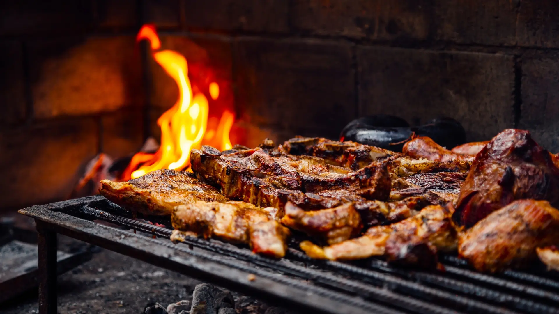
Federal capital of 3 million inhabitants, Buenos Aires reveals itself neighborhood by neighborhood: Recoleta with its historic cafés, San Telmo and its Sunday milongas, La Boca with its colorful facades, Palermo for nightlife. Beyond the city stretches the humid pampa, a cattle-raising plain where you stay in an estancia, 1.5 to 2 hours' drive away, to discover gaucho culture, wood-fired asado, and horseback riding. Temperate climate, pleasant from October to May, humid summers in January-February around 30°C. An excellent introduction before heading to Patagonia or the northwest.
North-West Andes
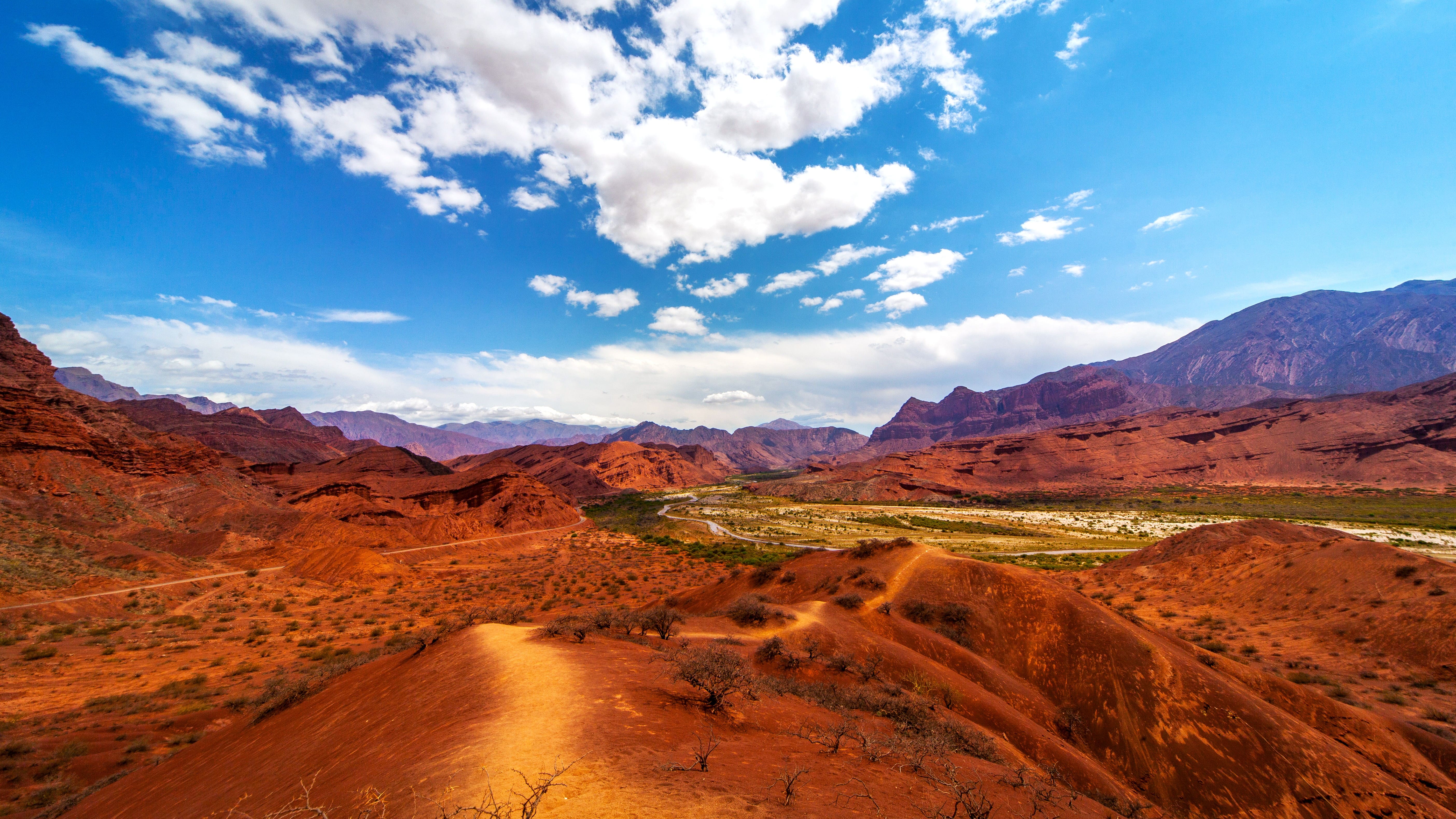
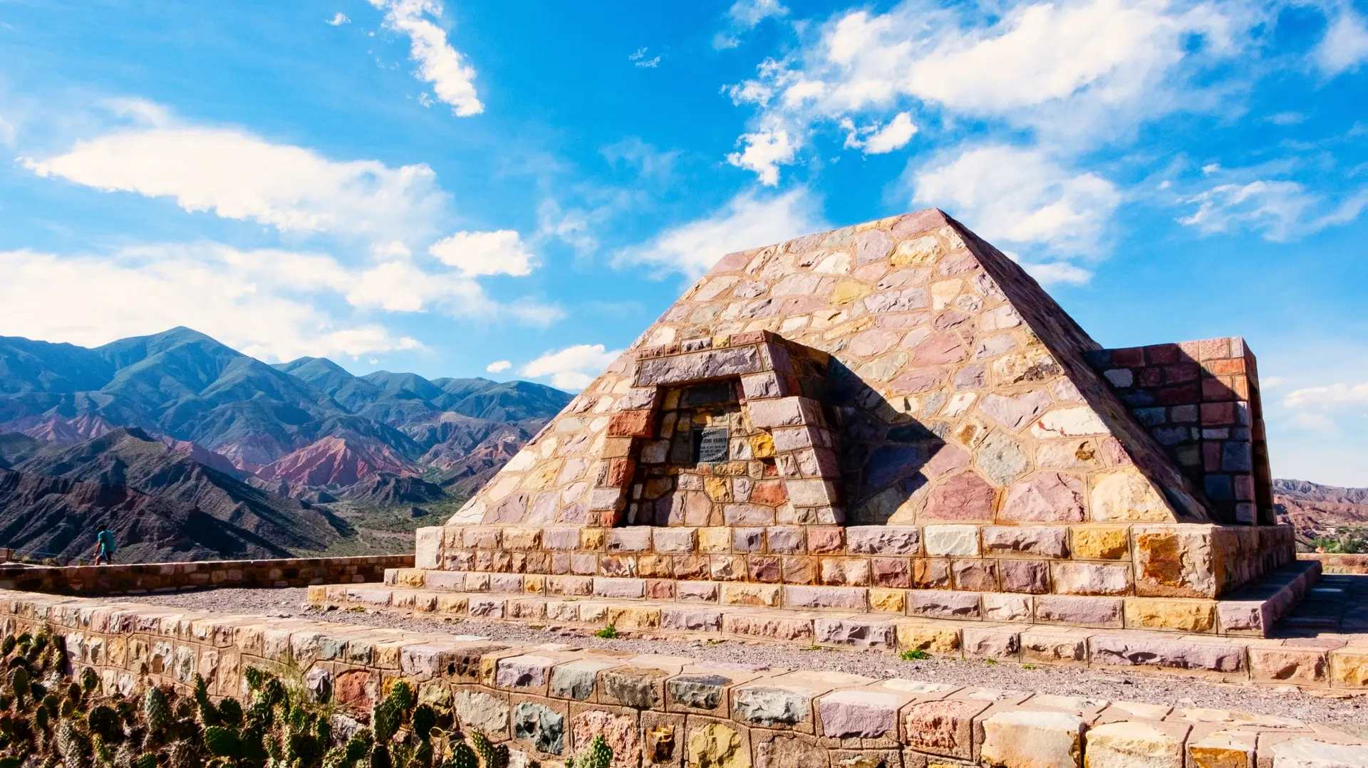
The NOA (Noroeste Argentino) covers the provinces of Salta and Jujuy, at 1,200 and 1,700 m altitude. The Quebrada de Humahuaca, a Unesco World Heritage site, unfolds its Andean villages (Purmamarca, Tilcara, Humahuaca) between colorful mountains and weaving markets. Further south, the Calchaquí Valleys lead to Cafayate, capital of torrontés, a white varietal cultivated up to 3,000 m. Dry climate year-round, warm days and cool nights, ideal from April to November. The rainy season from January-February may cut off certain trails. A region to combine with Mendoza for wine and high-altitude landscape enthusiasts.
Mendoza and Cuyo
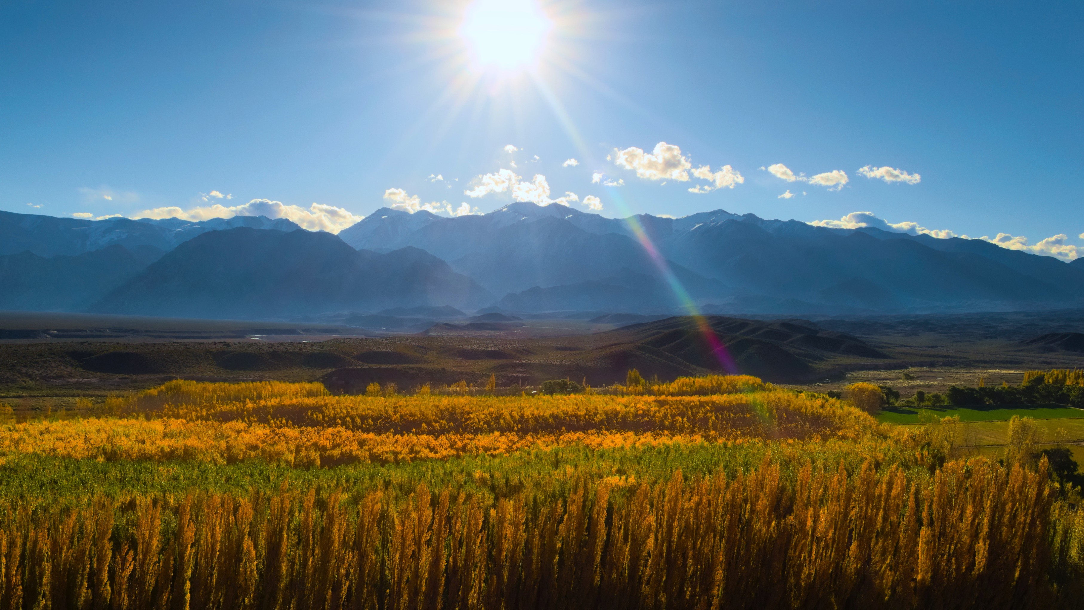
At the foot of the Andes cordillera, Mendoza concentrates 75% of Argentine wine production, with malbec leading the way. Wineries can be visited in three zones: Luján de Cuyo, Maipú, and the Uco Valley, the latter at 1,000-1,500 m altitude offering the most structured wines. The region also allows for the ascent of Aconcagua, the highest peak in the Americas (6,962 m), rafting on the Río Mendoza, and treks through the Cordillera. Ideal season from October to April, with harvest in March. Winters are dry and cool, perfect for the landscapes but some mountain passes remain closed.
Patagonia of the Lakes
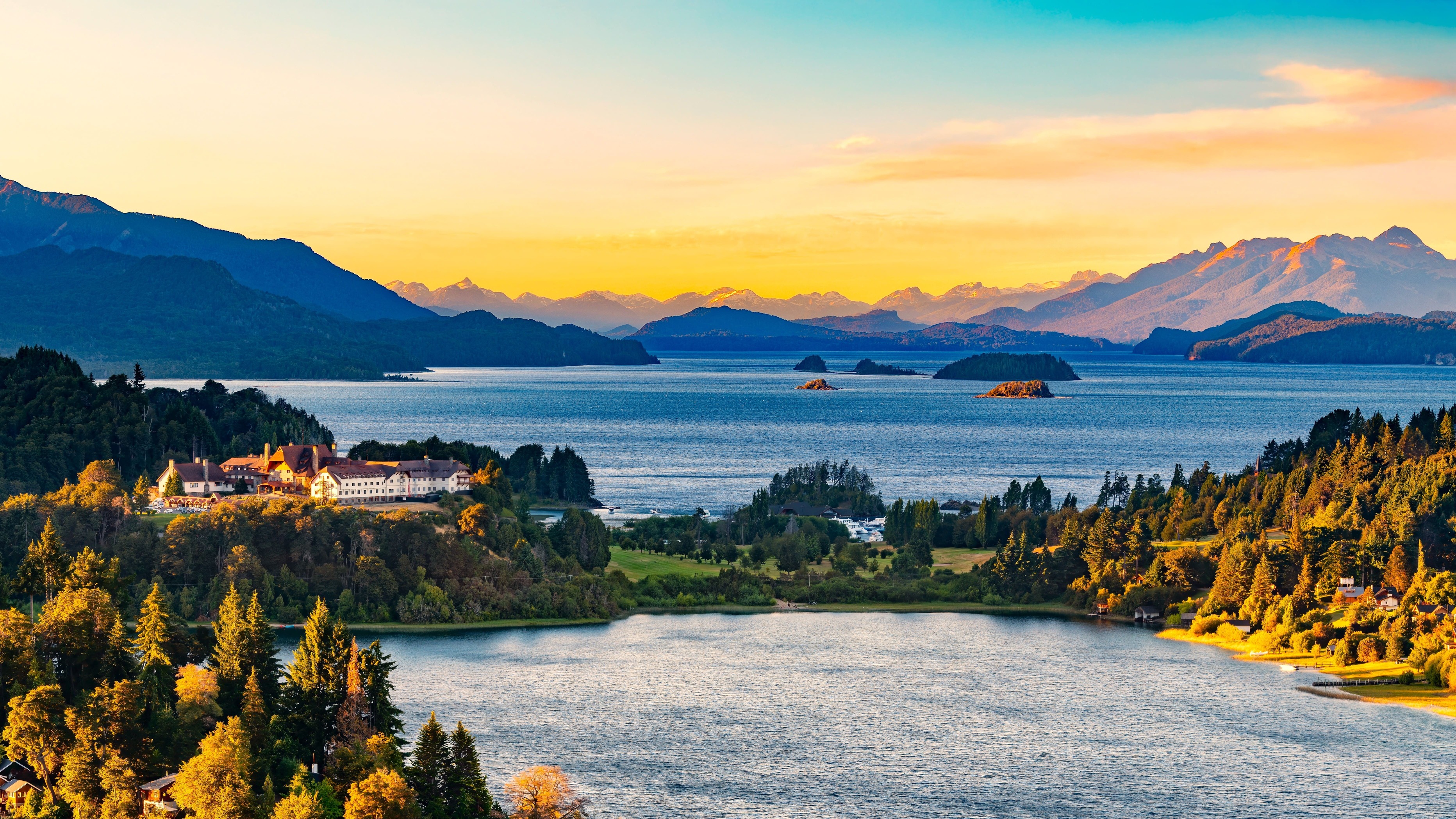
Centered on San Carlos de Bariloche and San Martín de los Andes, the lakes region in northern Patagonia recalls the Swiss Alps: glacial lakes, lenga forests, snow-capped peaks. Nahuel Huapi National Park can be explored by boat, hiking, or the Seven Lakes Route (110 km from Bariloche to San Martín). Nearby on the Chilean side, Villa La Angostura serves as a base for treks. Summer season from December to March for hiking, winter for skiing at Cerro Catedral. A great combination with El Chaltén for those wanting two different Patagonia experiences in a single trip.
South Patagonia
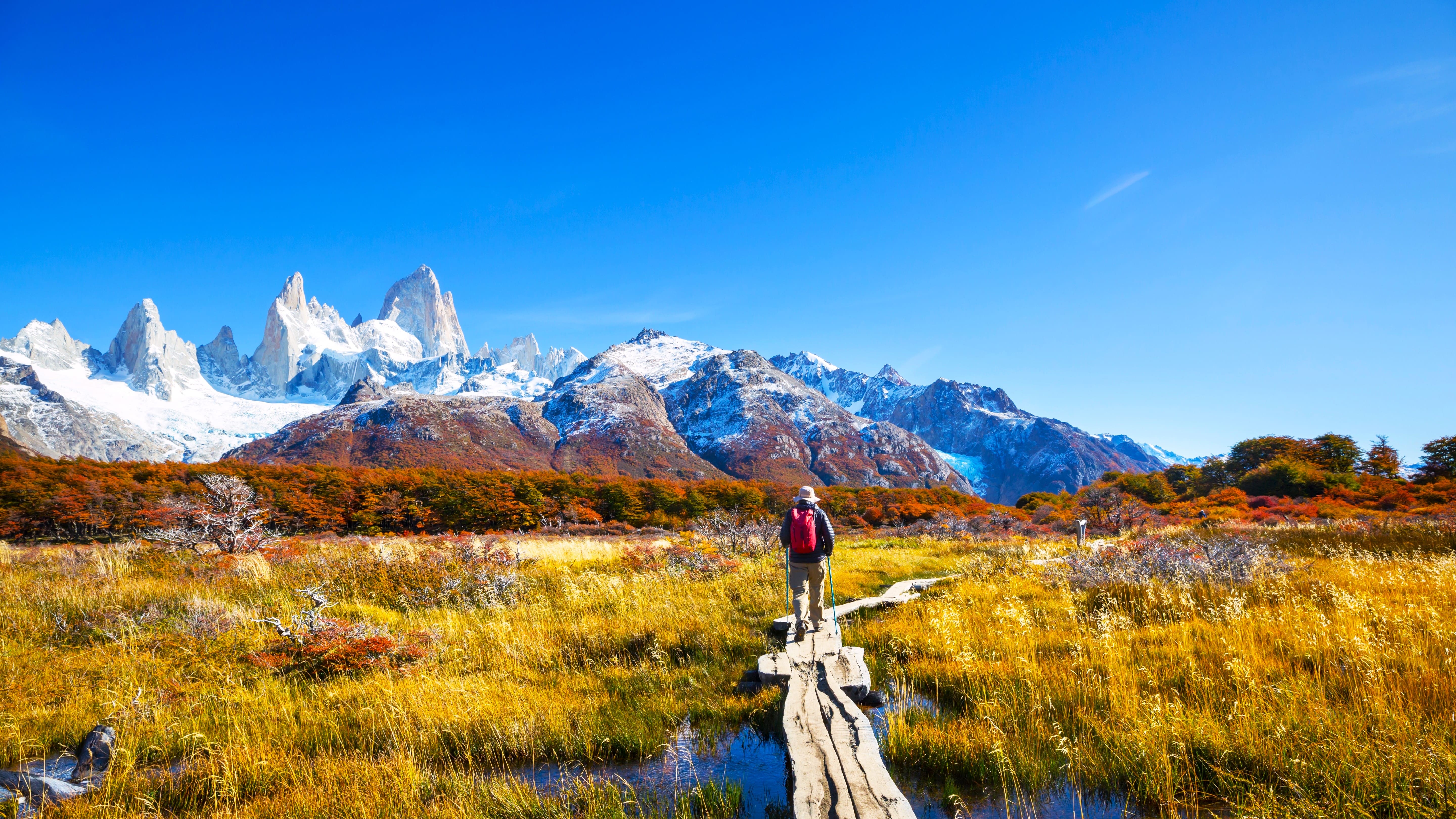
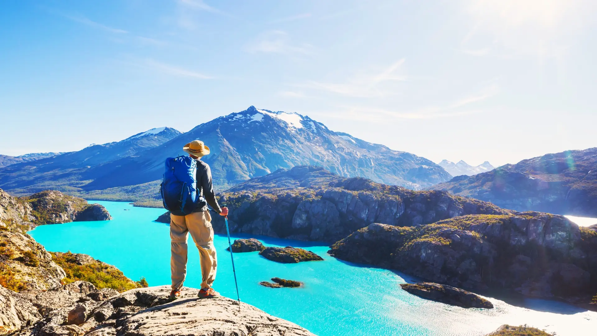
Southern Patagonia brings together iconic landscapes: Perito Moreno glacier near El Calafate, a 60-meter-high ice wall visible from walkways, and the Fitz Roy massif at El Chaltén, Argentina's trekking capital, with ascents to Laguna de los Tres (8 hours round trip). Further south, Ushuaia, the world's southernmost city, opens onto the Beagle Channel and Antarctic cruises. Navigation and trekking season from October to April, strong winds in November-December. Long distances and domestic flights from Buenos Aires are essential to optimize your time.
Valdes Peninsula and Atlantic Coast
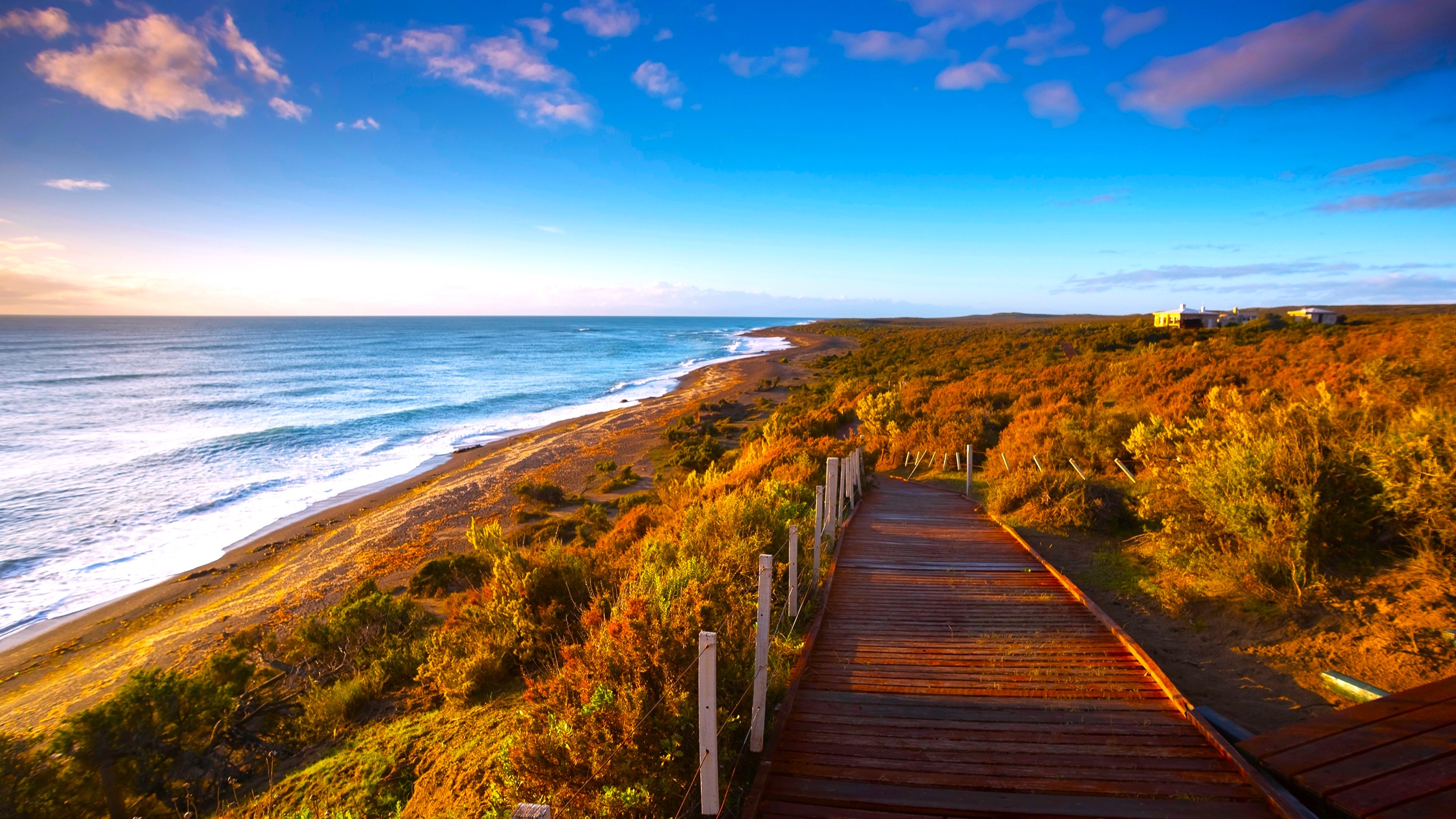
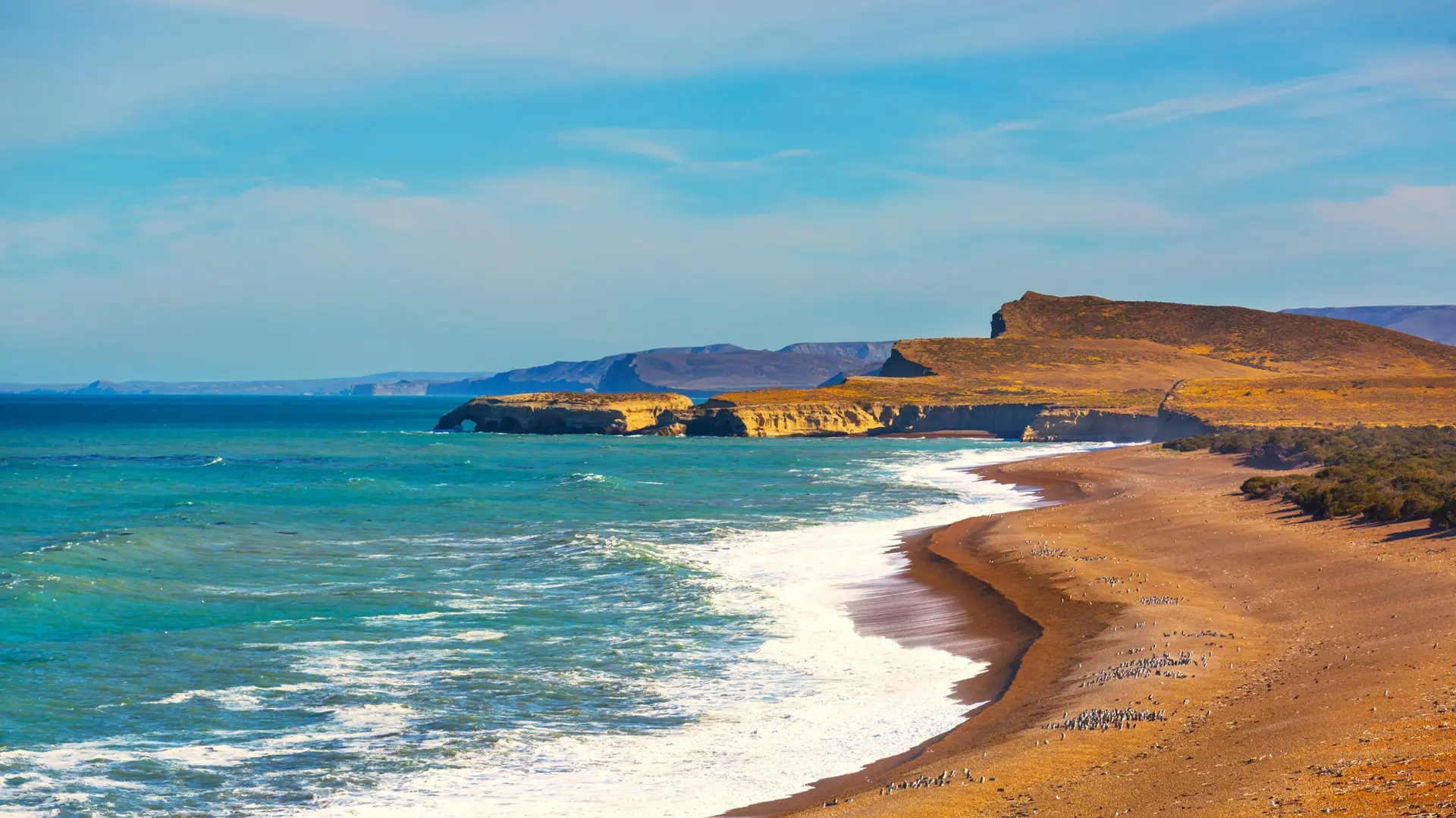
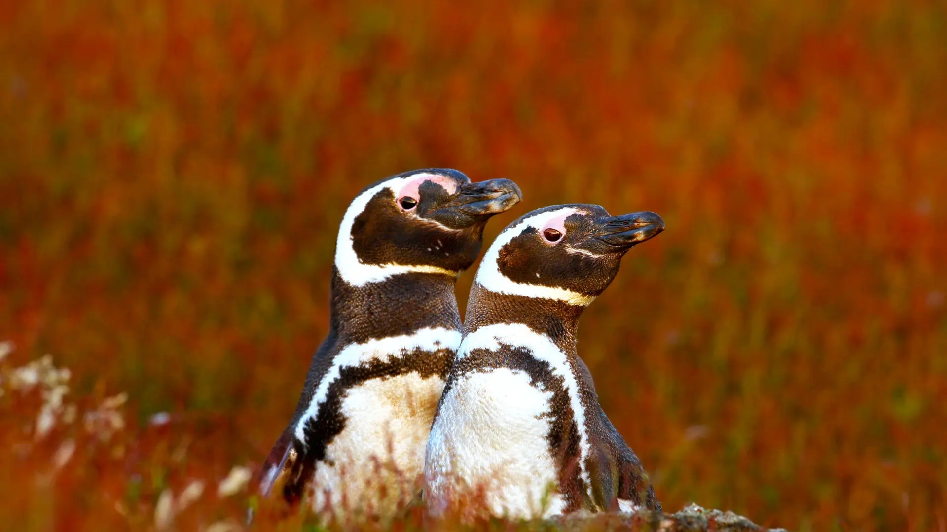
Located 1,400 km south of Buenos Aires, Valdés Peninsula (UNESCO) is Argentina's premier marine wildlife destination. Southern right whales from June to December, peak viewing in September-October from Puerto Pirámides. Magellanic penguins at Punta Tombo from September to March (up to 500,000 individuals), elephant seals, sea lions, and orcas that intentionally beach themselves to hunt at Punta Norte (March-April). Windy climate, cool temperatures even in summer. An essential stop between Buenos Aires and southern Patagonia for wildlife enthusiasts.
Explore by theme
Unique experiences tailored to every traveler.
Culture & Heritage
Temples, musées, sites historiques
Nature & Landscapes
Parcs nationaux, montagnes, forêts
Sea & Beaches
Littoral, îles, sports nautiques
Wildlife & Biodiversity
Observation animale, sanctuaires, réserves
Activité et Aventure
Trek, kayak, escalade, sports outdoor
Gastronomy
Cuisine locale, marchés, cours de cuisine
We use cookies to improve your experience and measure our site's audience. You can choose what you accept. Learn more.